NWS National Hurricane Center Miami FL
1215 UTC Thu Apr 24 2025
Tropical Weather Discussion for North America, Central America
Gulf of America, Caribbean Sea, northern sections of South
America, and Atlantic Ocean to the African coast from the
Equator to 31N. The following information is based on satellite
imagery, weather observations, radar and meteorological analysis.
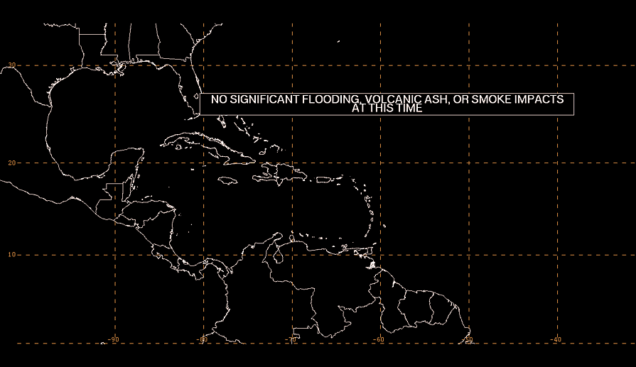
Based on 0600 UTC surface analysis and satellite imagery through
0930 UTC.
...MONSOON TROUGH/ITCZ...
The monsoon trough axis enters the Atlantic near 12N16W and
extends to 06N20W. The ITCZ continues from 06N20W to 01N50W.
Numerous moderate to isolated strong convection is noted S of the
monsoon trough, E of 16W, offshore the coasts of Liberia and Cote
d'Ivoire.
...GULF OF AMERICA...
Ridging extends over the Gulf of America, supporting moderate to
fresh E to SE winds over much of the Gulf S of 27N, with moderate
or weaker winds elsewhere. Seas are generally 3 to 6 ft, with the
exception of the waters just offshore the northern Yucatan
Peninsula, where some seas of up to 7 ft are likely. Convection
that had been over the NW Gulf has dissipated early this morning.
For the forecast, high pressure ridging just NE of the Gulf will
bring mainly gentle SE winds and relatively tranquil marine
conditions to the NE half of the basin into the start of next
week. The southern and western Gulf will experience moderate to
fresh east to southeast winds during this same period, locally
pulsing to strong off the NW Yucatan Peninsula each tonight and
Fri night as a diurnal trough affects the waters.
...CARIBBEAN SEA...
Moderate to locally fresh NE winds are occurring through the
Windward Passage, as well as offshore of northwestern Colombia, as
the result of a pressure gradient between high pressure to the
north and a 1009 mb low over northwestern Colombia. Seas of 4 to
6 ft are noted in the central Caribbean in association with these
winds. A surface trough extends from 21N57W through the Lesser
Antilles to about 12N63W. Scattered moderate convection has
developed over the Windward Islands in association with this
trough. Otherwise, gentle to moderate trade winds and seas of 2
to 5 ft prevail across the rest of the basin.
For the forecast, high pressure ridging north of the basin will
support pulsing fresh NE winds in the Windward Passage, south of
Cuba, and offshore Colombia at night into the weekend. Moderate
or weaker winds and slight to moderate seas will prevail
elsewhere into early next week.
...ATLANTIC OCEAN...
A surface trough extends from 31N58W southwestward to the Virgin
Islands, while ridging extends from a 1029 mb high centered north
of the area. Another surface trough extends from the Lesser
Antilles to about 21N57W. The pressure gradient between these
features is supporting fresh to locally strong NE winds occurring
from 60W to 75W, generally north of 20N. Rough seas of 8 to 10
prevail in this region from 23N, northward, between 53W and 70W. A
relatively broad zone of scattered moderate convection where deep
layer lift and moisture are occurring extends from 13N to 25N
between 50W and 60W.
Otherwise, fresh NE winds continue over the Bahamas, Greater
Antilles, and Straits of Florida. Moderate winds are elsewhere
west of the Leeward Islands trough. To the east of both surface
troughs, widespread moderate to fresh trade winds dominate those
waters with seas of 5 to 8 ft.
For the forecast west of 55W, the aforementioned troughs will
remain relatively stationary through Fri, causing the higher winds
and seas to continue. Winds should should diminish by the weekend
as the pressure gradient relaxes. Looking ahead, a cold front may
move southward, between Florida and 65W, late Sunday into Monday
followed by moderate to fresh N to NE winds.
$$
|
