 | |
|
BAMD = red -
BAMM = yellow -
A90E = blue -
LBAR = green GFDL = purple - UKMET = orange - NHC = white | |
|
 | |
|
BAMD = red -
BAMM = yellow -
A90E = blue -
LBAR = green GFDL = purple - UKMET = orange - NHC = white | |
|
DISCLAIMER...NUMERICAL MODELS ARE SUBJECT TO LARGE ERRORS.
PLEASE REFER TO TPC/NHC OFFICIAL FORECASTS FOR TROPICAL CYCLONES.
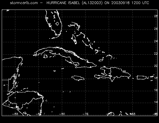
It is good news if you don't see any colored tracks on the image above. That means
that the models forecast that this tropical system will not travel through this area.
Zoom out to Atlantic Ocean
Note that this image is not automatically updated yet, so this may not show the latest model run. (last update: 10:10:07 AM PDT Thursday, September 18, 2003)
Check for latest data: NHC, UKMET, GFDL, BAMD, BAMM, A98E, LBAR.
| | discussions | reports | pleas for help | QHWRN | guide | climatology | archive | |
Copyright © 2000 Caribbean Hurricane Network. All Rights Reserved