
|
|
- Updates from the Islands -- - Jamaica - - |
|
|
For the most recent reports from Jamaica see this page.
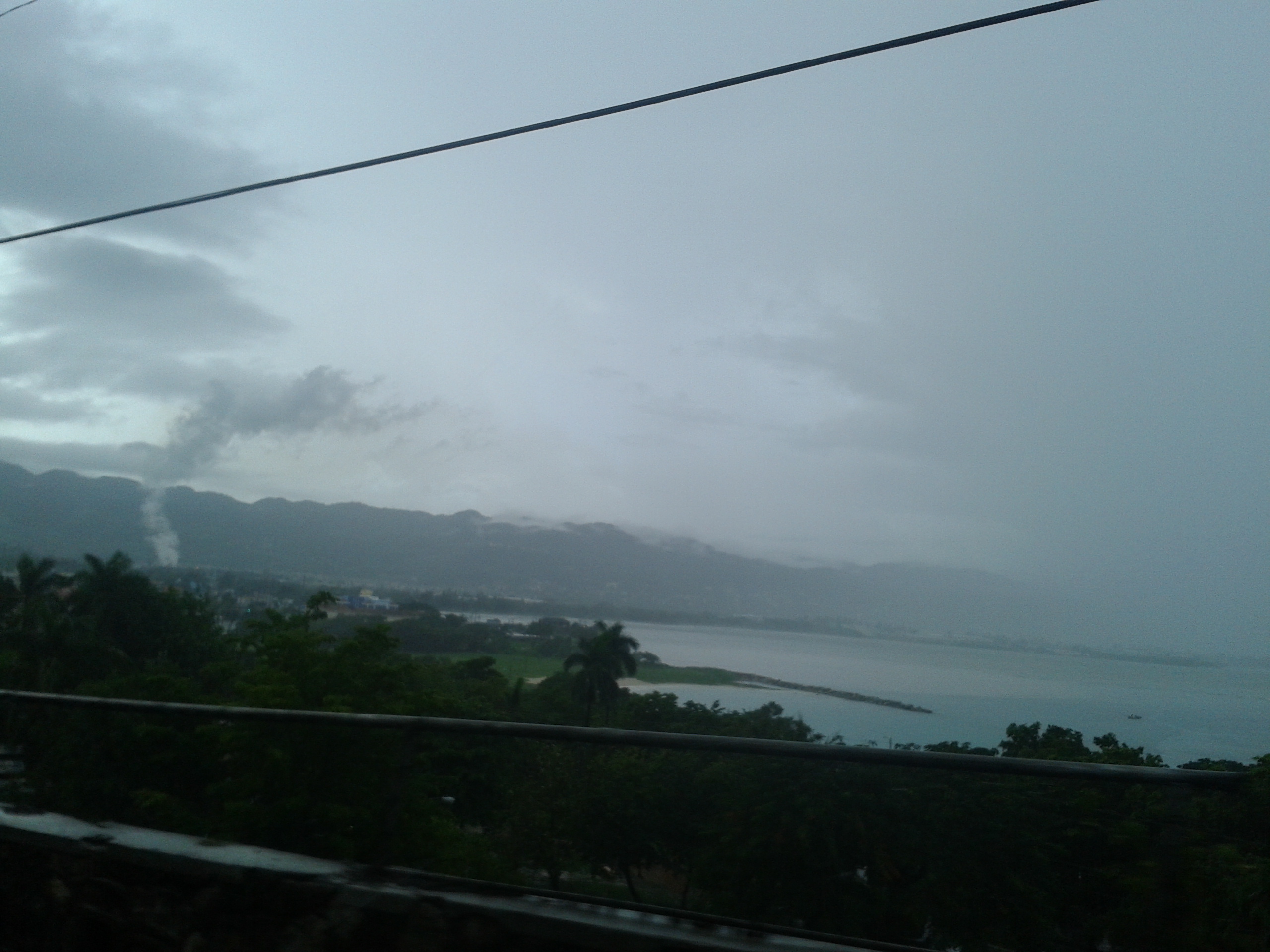
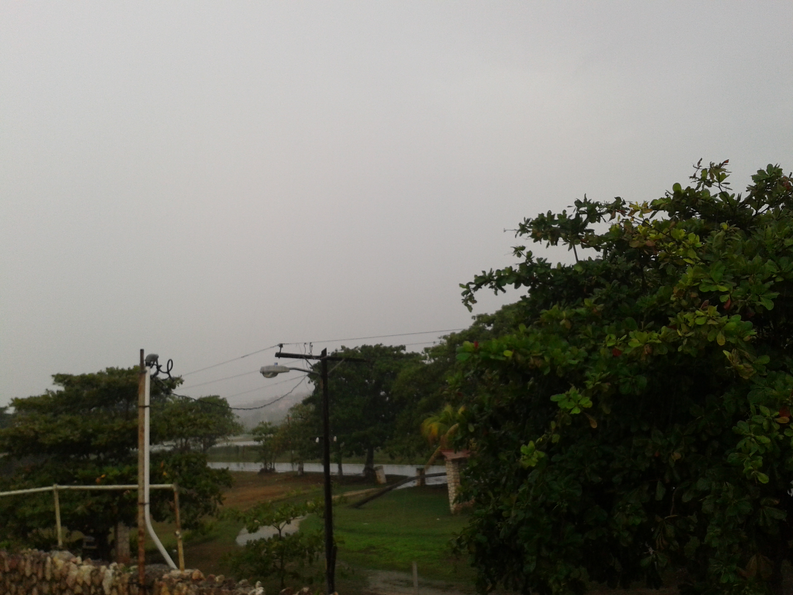
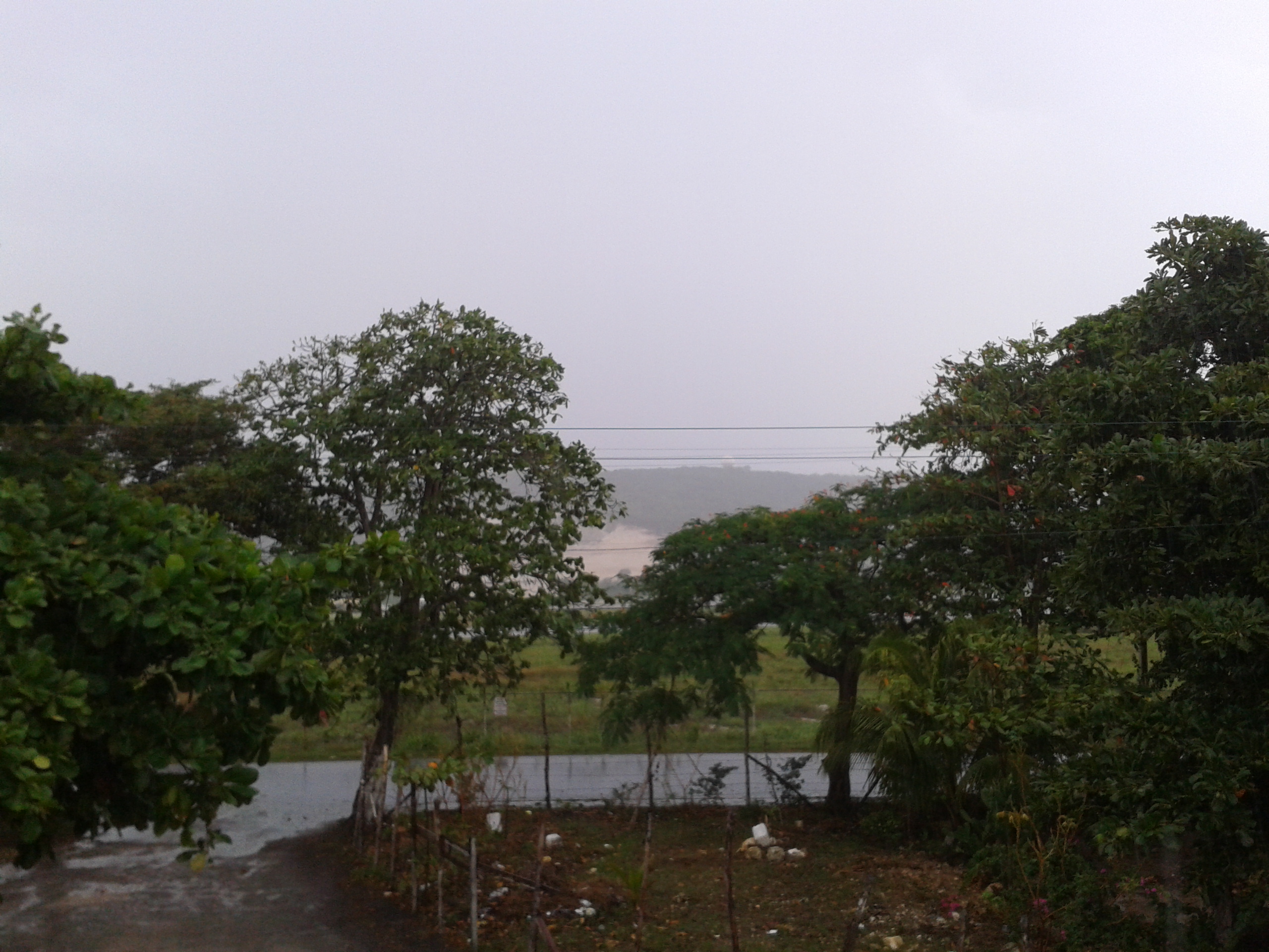
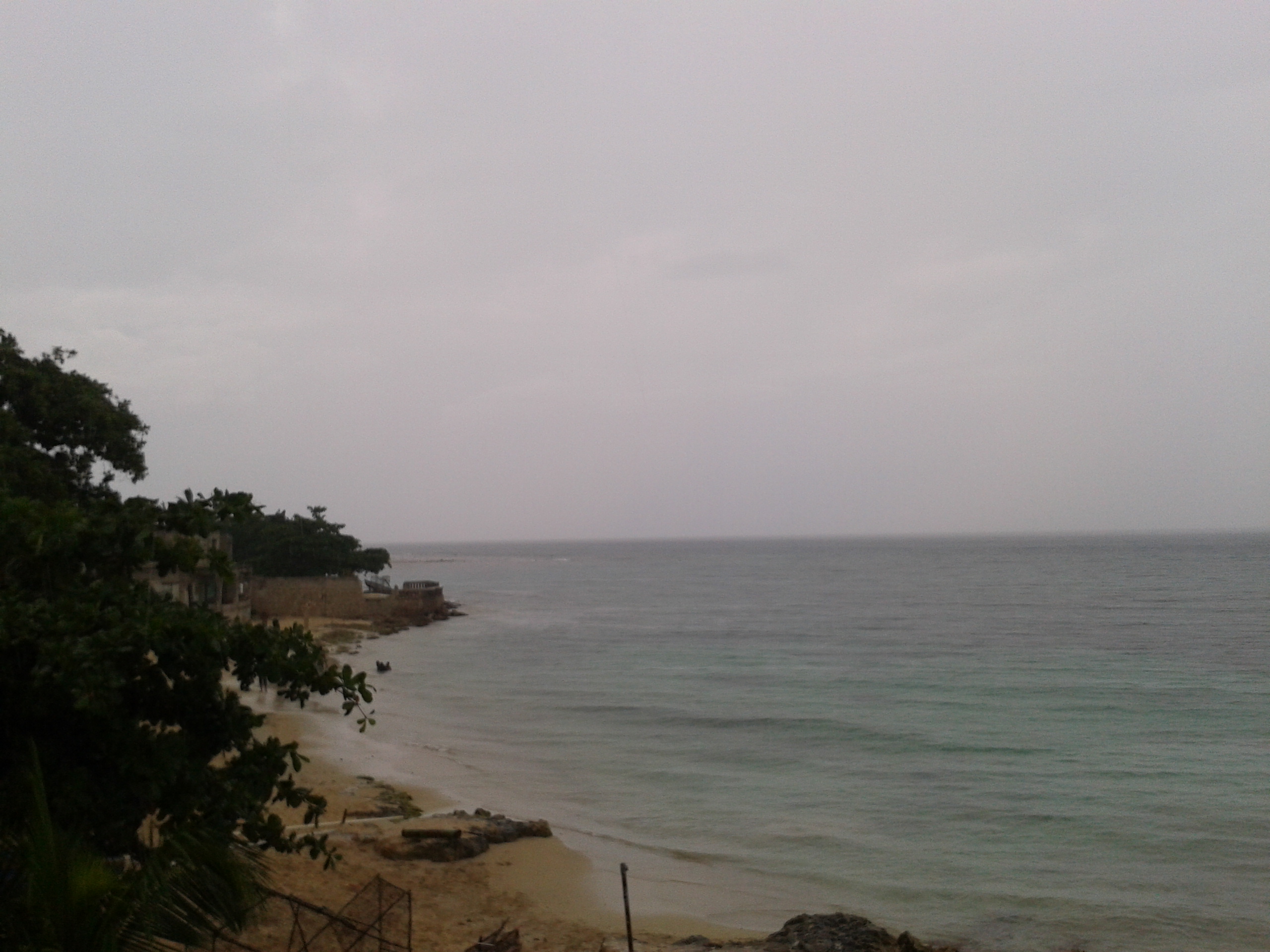
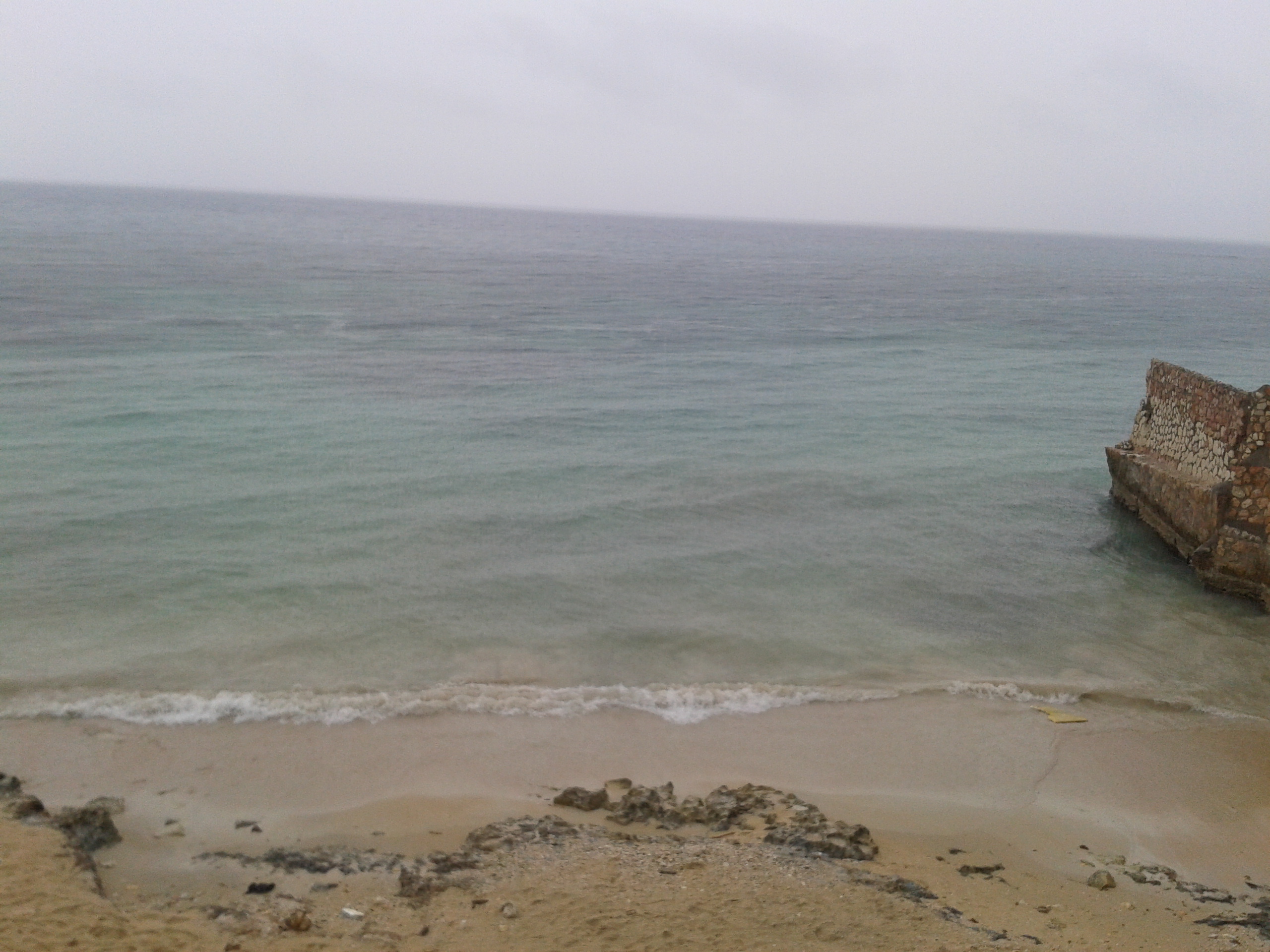
| - Beautiful mornings,afternoon tstorms | |
| |
Attachment:
2012-10-19 07.39.13.jpg Attachment:
2012-10-19 07.42.32.jpg Attachment:
2012-10-19 07.49.28.jpg |
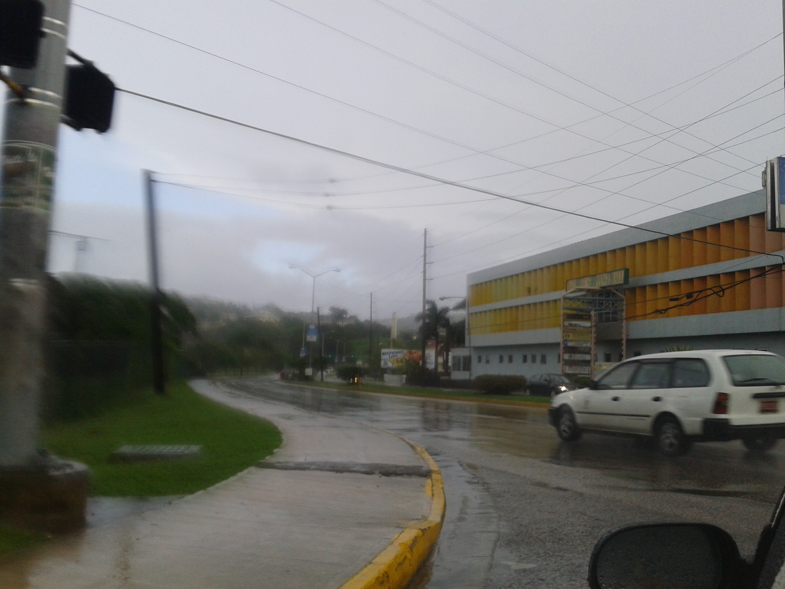
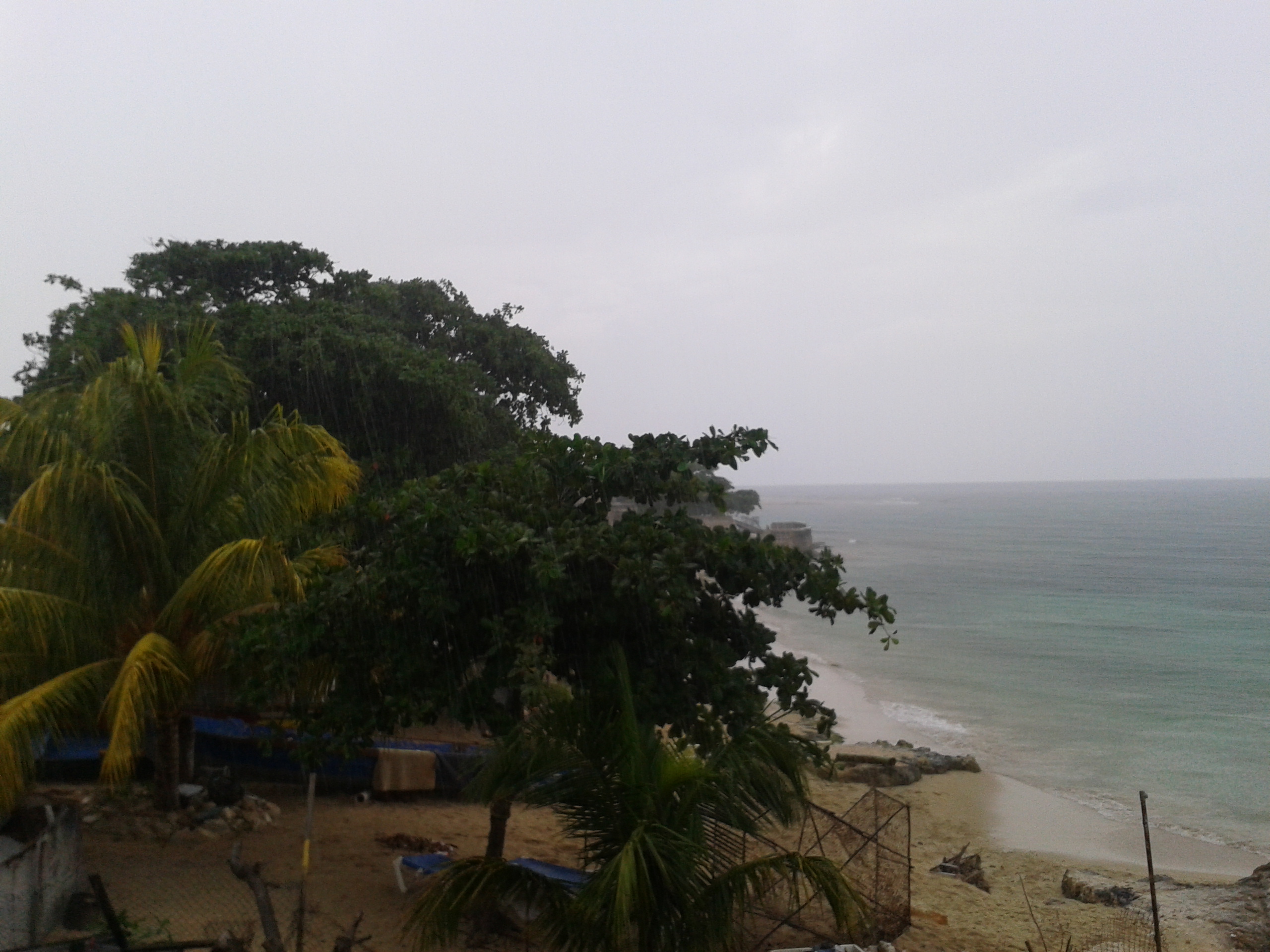
| - Heavy rains affect the Montego Bay area Friday night into Saturday | |
| |
Attachment:
2012-10-13 07.57.13.jpg Attachment:
2012-10-13 08.14.45.jpg Attachment:
2012-10-13 08.16.08.jpg |
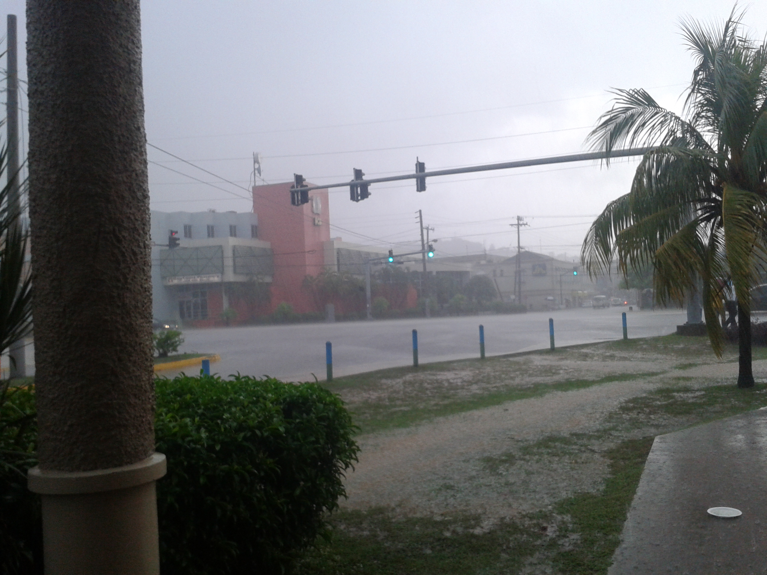
| - 3 deaths , Farmers suffer $72 million loss following heavy rains | |
| |
Attachment:
2012-10-03 17.35.32.jpg Attachment:
2012-10-03 18.01.29.jpg Attachment:
2012-10-03 18.01.53.jpg |
| - 3 deaths from Sundays Flooding rains |
|
|
From the Jamaica Observer
|
| - Almost 7in of rain reported in Kingston , 1 death from the heavy rains overnight |
|
|
The news reports coming in this morning are that several communities across the Island flooded and many there are many blocked roads especially in St.Catherine and Clarendon. Sadly there is also a casualty a little girl was swept away from a vechicle.The Norman Manley Airport reported 6.50inches/165mm this fell between 7pm to midnight.Schools are been told to decided whether to open based on their local situation as some areas were more affected by the rains than others.Below the news release from the metservice
FOR IMMEDIATE RELEASE: Monday, October 1, 2012 – 6:00 a.m.
The Meteorological Service has continued the Flash Flood Warning for low-lying and flood-prone areas of all parishes until 5 p.m. today.
A FLASH FLOOD WARNING means that flooding has been reported or will occur shortly. Motorists and pedestrians should not attempt to cross flooded roadways or other low-lying areas as strong currents are likely. Residents in low-lying areas should be on the alert for rising waters and be ready to move quickly to higher ground.
The Broad Area of Low Pressure remains over the western Caribbean and continues to influence weather conditions across Jamaica. Satellite imagery and rainfall data indicate that moderate showers and thunderstorms; heavy at times, have been affecting sections of all Parishes.
The forecast is for periods of showers and thunderstorms, to continue to affect the island today and this could result in flash flooding over low-lying and flood-prone areas, and saturated areas elsewhere.
Fishers and other marine interests are being advised to exercise caution as strong, gusty winds could be experienced in the vicinity of showers and thunderstorms.
The Meteorological Service will continue to monitor the situation.
|
| - Flash Flood Warning ,Heavy Rain across Eastern Jamaica |
|
|
It’s been a wet Sunday and based on radar heavy rain continues across Sections of Eastern Jamaica up to this hour. The Island picked up between 2-5inches of rain fall on Sunday and the nation has been placed under a Flash Flood Warning. Sunday’s rains are the heaviest rain some areas have seen since the start of the year as we have been in a severe drought. Its welcomed by
many farmers and residents alike as there has been water restrictions in some areas. Below is the new release from Sunday evening
Sunday, September 30, 2012 – 5:00 p.m.
*** FLASH FLOOD WARNING NOW IN EFFECT FOR ALL PARISHES ***
The Meteorological Service has upgraded the Flash Flood Watch to a Flash Flood Warning for low-lying and flood-prone areas of all parishes effective until 5 a.m. tomorrow.
A FLASH FLOOD WARNING means that flooding has been reported or will occur shortly. Motorists and pedestrians should not attempt to cross flooded roadways or other low-lying areas as strong currents are likely. Residents in low-lying areas should be on the alert for rising waters and be ready to move quickly to higher ground.
The Area of Low Pressure and the broad Trough remain over the western Caribbean and continue to influence weather conditions across Jamaica.
An increase in rainfall occurred over sections of the island today while periods of showers and thunderstorms are expected to continue affecting most parishes this evening and tonight. Rainfall reports indicate a significant increase has been recorded over some sections of the island. As Hence, a Flash Flood Warning is now in effect for all parishes. Significant improvement is not expected until Monday evening.
Fishers and other marine interests are being advised to exercise caution as strong, gusty winds could be experienced in the vicinity of showers and thunderstorms.
The Meteorological Service will continue to monitor the situation.
|
| - Rainy Sunday | |
| |
Attachment:
2012-09-30 14.27.13.jpg Attachment:
2012-09-30 14.27.44.jpg Attachment:
2012-09-30 14.28.36.jpg Attachment:
2012-09-30 14.29.01.jpg Attachment:
2012-09-30 14.29.32.jpg Attachment:
2012-09-30 14.30.19.jpg |
| - *** INCREASED RAINFALL EXPECTED THIS WEEKEND *** |
|
|
Good Morning all,
The rain began Friday afternoon and has been intermittent since nothing heavy here in Montego Bay light to moderate. The metservice issued a release from Thursday advising of increased rainfall this weekend see below
Periods of showers and thunderstorms, which could be heavy at times, are forecast to continue across the island particularly during the afternoons on Friday through to Sunday.
A gradual improvement is expected on Monday as this area of unstable weather drifts further northwestward away from Jamaica.
Fishers and other marine interests are being advised to exercise caution as strong, gusty winds are expected in areas of showers and thunderstorms.
|
| - Cool cloudy morning | |
| |
Attachment:
IMG-20120924-WA0005.jpg |
| - Pleasant Morning after a few showers yesterday afternoon | |
| |
Attachment:
2012-09-23 06.16.49.jpg Attachment:
2012-09-23 06.17.35.jpg Attachment:
2012-09-23 06.18.25.jpg |
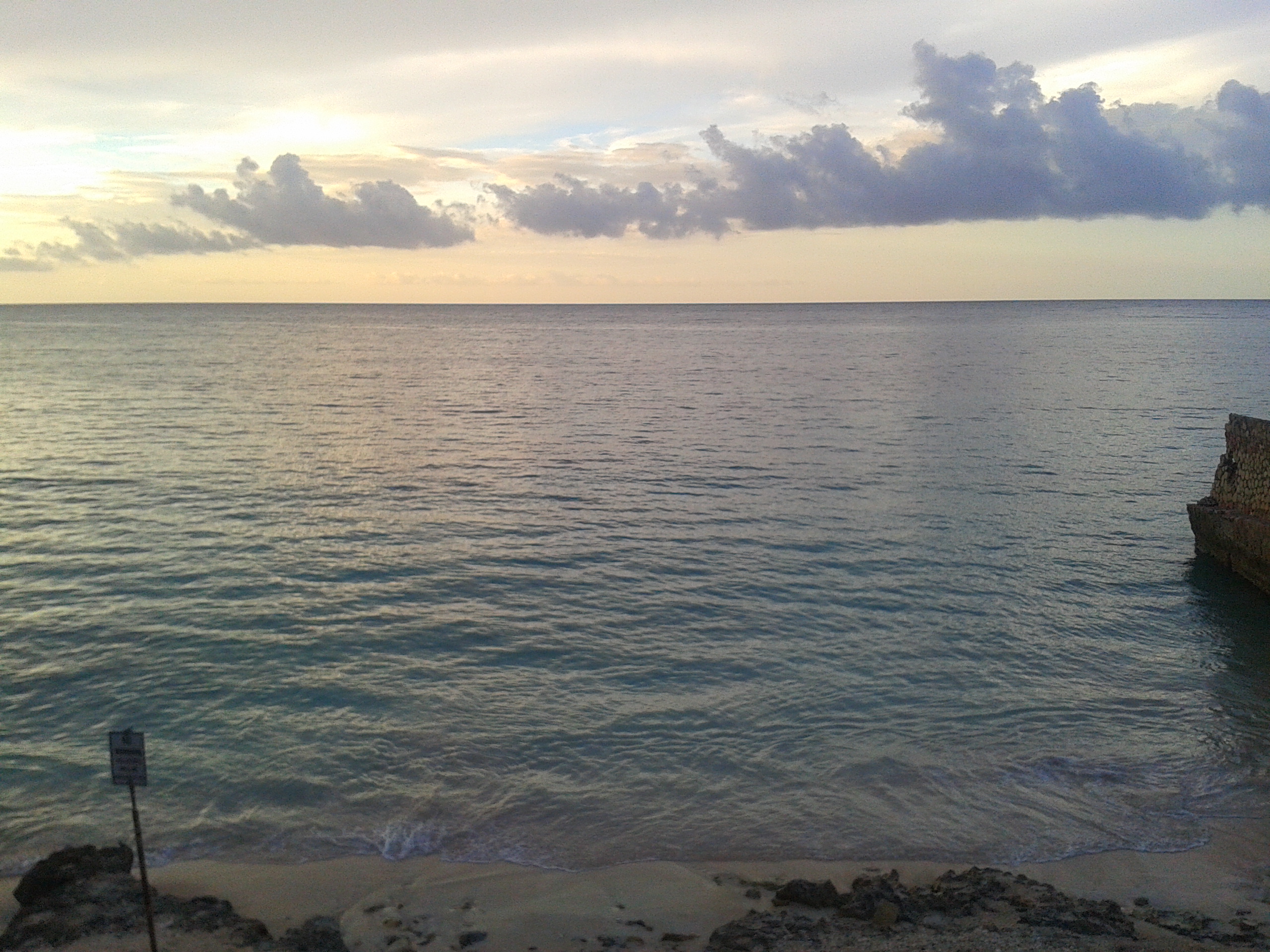
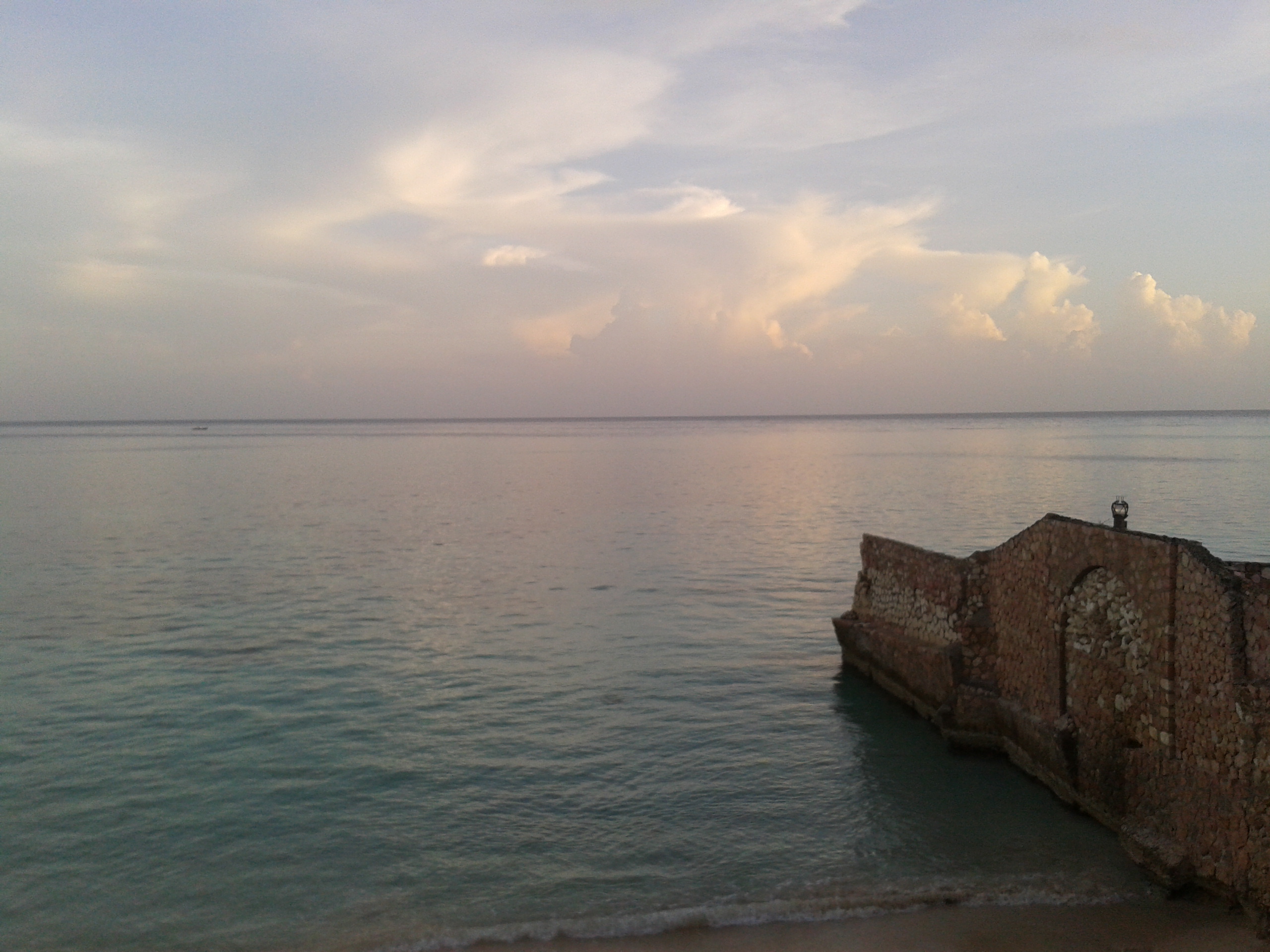
| - Beautiful Sat morning | |
| |
Attachment:
2012-09-22 06.09.20.jpg Attachment:
2012-09-22 06.07.42.jpg Attachment:
2012-09-22 05.58.48.jpg |
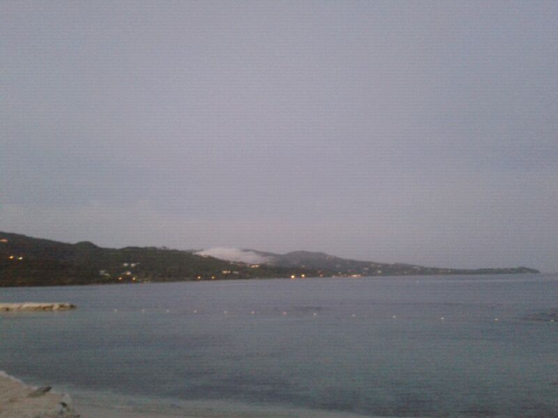
| - Update | |
| |
|
| - Update | |
| |
|
| - great weather | |
| |
Attachment:
2012-09-09 08.21.43.jpg |
| - Negril after Isaac |
|
Greetings. It's a beautiful day in Negril. In the night some rain fell, now it's hot, overcast, a bit breezy. Jamaica nice! |
| - A Glorious Day |
|
|
The rains arrived last night, around 10pm, and they haven't left. We've had thunderstorms and rains right through the night, sometimes heavy. Everywhere is cool and dark, a welcome respite from the searing heat and thick humidity of the previous days. Forecast states that this weather will persist throughout the day and into the evening. Debbie Davidson Behaviors that get rewarded get repeated White Mist Shepherds--home of the White German Shepherd |
| - Isaac - Negril |
|
Greetings from Negril Jamaica. It'a been breezy for 2 days but today it's REALLY breezy with big waves this side of the island. Some rain started to fall last night and right now it's just some showers while the sun still shines. Verstuurd vanaf mijn iPhone |
| - a few light showery rain overnight hours |
|
|
Good early morning, We have been having light rain in Montego Bay Jamaica. They very light showery type but otherwise today was so hot and dry before midnight no rain .There is some concern tonight for Andros which is under a hurricane warning .The Island of Andros, the largest in The Bahamas archipelago, is divided
into three districts – North Andros, Central Andros and South Andros
(Kemp’s Bay and Mangrove Cay). According to that Islands National Emergency Management Agency ,the administrator for Mangrove Cay Maxine Duncombe reported heavy wind and a storm surge in the area of Burnt Rock. The Mangrove Cay High School will be used as a shelter if the need arises but otherwise most of the worst of Issac seem to be offshore the Cuban coast. |
| - Isaac's tail |
|
|
Isaac's tail has a bit of a sting in it. Blowing hard enough to find the space under the front door and bouts of really heavy rain with overflowing gutters. Glad for a solid house not in a flood prone area. My heart bleeds for my Haitian brothers and sisters still living in tents. Carolyn |
| - tail end of the storm |
|
|
For the last two hours we have been having steady rain, occasional gusts and some thunder and lightning here in Kingston. I'm off to bed now; wonder how much longer it will last. Susan |
| - All's Quite at the moment in Spanish Town |
|
|
That storm that was promised us???? Well, it's a non-entity. We're off the watch while humidity continues to drain us of our energy. A very slight breeze has started. However we may not be out of the woods where rain's concerned. A family member in Barbados tells me that after Isaac passed, it rained for about 15 hours straight. Debbie D |
| - Tropical Storm Warning Lifted for Jamaica |
|
|
The latest bulletin from the Meteorological Service of Jamaica, released at 11:00 a.m. this morning, advises that the tropical storm warning has been discontinued for the island. Nothing much has been happening here in Kingston where I live. There were moderate showers of rain last night in the Red Hills area and it has been overcast and windy all day. In fact it has been quite a comfortable day weather-wise.
The Met Service advises, however, that, although there is no longer the threat of tropical storm conditions for Jamaica, the island could still experience periods of heavy rainfall, primarily over northern parishes, while TS Isaac lingers over the Caribbean region. The rest of the Met Service bulletin can be read here: http://www.metservice.gov.jm/news.asp?id=13105 WALK GOOD!!! Kerry-Ann Kerry-Ann Morris, BA (UWI, Mona), MSc. (KCL, London) Publisher Echoes Publishing Jamaican Echoes Blog: "Our history echoes all around us; we just have to listen." To The Rescue: Stories from Healthcare Workers at the Scenes of Disasters (September 1, 2009) Living Well with Endometriosis: What Your Doctor Doesn't Tell You ... That You Need to Know (Collins, April 4, 2006) "Everytime you smile at someone, it is an action of love, a gift to that person, a beautiful thing." Mother Teresa |
| - Tropical Storm Watch lifted for Jamaica |
|
|
The Tropical Storm Watch has been lifted for Jamaica. Although it has been a rather overcast day so far, there hasn't been anything to speak of in the way of either rain or wind where I am in Kingston. In the last half hour, I have been hearing very distant grumbling thunder. I spoke with a relative in Ocho Rios about an hour or so ago, and he said they had had a little rain and a bit of breeze last night, but also nothing much. Thinking of everyone in the other islands who have felt the impact of Isaac. Susan |
| - Not much from Issac as yet beautiful sunny morning across Jamaica |
|
|
It’s a beautiful morning in Montego Bay with
no impacts from Tropical storm Isaac as of yet , the outer rain bands are still
over the waters to our north and east. Overnight some areas of the parishes
of St. Mary ,St. Thomas , Portland ,St. Catherine
and St. Andrew saw some intermittent light to moderate rainfall as rain bands drifted
from Isaac across the Eastern Sections of the Island but the rest of
the country have yet to receive rainfall associated with Tropical storm Issac. The forecast from Meteorological Service of
Jamaica has the center of Tropical Storm Isaac remaining some 300 kilometres
(185 miles) away from the northeast coastline of Jamaica; and so the main
threat to the island is now heavy showers and thunderstorms from the storm’s
outer bands. These could produce as much
as 150 millimetres (6 inches) of rainfall today. There is, therefore, the potential for flash
flooding and landslides, mainly over low-lying and flood-prone areas so
residents in these areas should exercise caution. I capture short video of the weather (link
below) this morning ,the waves are a
little choppy this morning but nothing out unusual I would have expect a lot more wave action. |
| - quiet night |
|
|
It's beeen a quiet night where I am in Kingston...no rain, no wind. Below is the 5:00am release from the Jamaica Met Service. Susan Saturday, August 25, 2012 – 5:00
a.m. BULLETIN No: 10 - ISAAC NOW APPROACHING SOUTHEAST CUBA ISAAC NOW APPROACHING SOUTHEAST
CUBA…TROPICAL STORM WATCH REMAINS IN EFFECT FOR JAMAICA Tropical Storm Isaac has emerged
from the coast of Haiti and has begun to approach Cuba. Meanwhile, a TROPICAL
STORM WATCH remains in effect for Jamaica as tropical storm conditions still
pose a possible threat to the island. At 4:00 a.m. the centre of Tropical Storm Isaac was located near Latitude 19.0 degrees North, Longitude 73.3 degrees West, or about 340 kilometres (210 miles) east-northeast of Morant Point, Jamaica, or 235 kilometres (145 miles) south of Great Inagua Island. Isaac is moving towards the northwest near 22 km/h (14 mph) and a west-northwest to northwest motion is expected to continue for the next couple of days with some increase in forward speed. On the forecast track, the centre of Isaac will move near or over eastern Cuba tonight and approach the Florida Keys on Sunday. Maximum sustained winds are now near 95 km/h (60 mph), with higher gusts, and some strengthening is forecast after Isaac moves over eastern Cuba later today. Isaac is expected to become a hurricane on Sunday. Tropical storm force winds extend outward up to 370 km (230 miles), from the centre. With the centre of Tropical Storm Isaac approaching eastern Cuba and remaining near 300 kilometres (185 miles) away from the northeast coastline of Jamaica, the main threat to the island is now heavy showers and thunderstorms from the storm’s outer bands. These could produce as much as 150 millimetres (6 inches) of rainfall today. There is, therefore, the potential for flash flooding and landslides, mainly over low-lying and flood-prone areas. All small craft operators are reminded to remain in safe harbour until all warning messages have been lifted and wind and sea conditions have returned to normal. The Meteorological Service continues to monitor the progress of this system, and all interests should pay special attention to further Releases. The next Bulletin on Tropical Storm Isaac will be issued at 8:00 a.m. today. kjg |
| - Calm night no impacts up to midnight |
|
|
Very quite night no rain ,calm winds jus the usually loud chirps and croaks of the crickets and frogs.I just captured a short video dark though the latest release from the meteorological service of Jamaica below BULLETIN No: 9 Friday, August 24, 2012 – 11:00 p.m. TROPICAL STORM WATCH CONTINUES FOR JAMAICA AS ISAAC BECOMES BETTER ORGANIZED NEAR HAITITropical Storm Isaac has slowed down while approaching the south coast of Haiti. Meanwhile, a TROPICAL STORM WATCH remains in effect for Jamaica as tropical storm conditions still pose a possible threat to the island. At 10:00 p.m. the centre of Tropical Storm Isaac was located near Latitude 17.7 degrees North, Longitude 72.5 degrees West, or about 390 kilometres (245 miles) east of Morant Point, Jamaica, or 100 kilometres (65 miles) south-southwest of Port-au-Prince, Haiti. Isaac is moving towards the northwest near 22 km/h (14 mph) but is expected to resume a faster forward speed toward the northwest tonight through Sunday. On the forecast track, the centre of Isaac should make landfall in Haiti tonight, move near or over eastern and central Cuba on Saturday and approach the Florida Keys on Sunday. Maximum sustained winds are now near 110 km/h (70 mph), with higher gusts, and little change in strength is likely before landfall, followed by some weakening as the centre crosses Haiti and southeastern Cuba. Tropical storm force winds extend outward up to 370 km (230 miles), primarily northwest and northeast of the centre. With the centre of Tropical Storm Isaac now expected to pass near 290 kilometres (180 miles) off the northeast coast of Jamaica, the main threat to the island is now heavy showers and thunderstorms from its outer bands. These could produce as much as 150 millimetres (6 inches) of rainfall on Saturday. There is, therefore, the potential for flash flooding and landslides, mainly over low-lying and flood-prone areas. All small craft operators are reminded to remain in safe harbour until all warning messages have been lifted and wind and sea conditions have returned to normal. The Meteorological Service continues to monitor the progress of this system, and all interests should pay special attention to further Releases. The next Bulletin on Tropical Storm Isaac will be issued at 5:00 a.m. tomorrow. |
| - Get the umbrellas ready | |
| |
|
| - Issac starts its nw turn away from us |
|
|
Tropical storm Issac has made that nw turn towards Hispaniola very good news for Jamaica but heavy rain sill expected |
| - seas getting a little choppy |
|
|
Good Morning from beautiful
Montego Bay Jamaica!
The weather is sunny, barely a cloud in the sky. The
meteorological service of Jamaica has issued a Tropical Storm Watch as a
precaution as Tropical Storm Issac is still headed in the general
direction of the Island (west) and has yet to start turning wnw or nw which
would keep it away from us. I bought a nice cellphone one week now I just tried
out the videocam on it and its great Im able to record and upload straight
to youtube so below the link of the beach the waves this morning as it shows
already a bit choppy but otherwise no impacts as yet. Dont be too hard on me my
hands not too steady lol but not the skies how clear they are |
| - Tropical Storm Watch issued for Jamaica |
|
|
This morning a Tropical Storm Watch has been issued for Jamaica. I have posted the 5:00am bulletin from the Jamaica Met Service below. Looking at the satellite pictures, it does seem likely that some of that large "blob" (note my use of technical terms!) will come over our way. Here in Kingston, it is overcast and pretty still. Susan Thursday, August 24, 2012 – 5:00
a.m. BULLETIN No: 3-TROPICAL STORM WATCH ISSUED FOR JAMAICA
......... TROPICAL STORM WATCH ISSUED FOR
JAMAICA …FISHERS ADVISED TO EVACUATE NOW A TROPICAL STORM WATCH is now in
effect for Jamaica as signs indicate that Tropical Storm Isaac could move
closer to Jamaica. This means that tropical storm conditions pose a possible
threat to the island within 48 hours. At 4:00 a.m. the centre of Tropical Storm Isaac was located near Latitude 16.1 degrees North, Longitude 70.0 degrees West, or about 685 kilometres (423 miles) east-southeast of Morant Point, Jamaica or 370 kilometres (230 miles) southeast of Port-au-Prince, Haiti. Isaac is moving towards the west near 24 km/h (15 mph) and a turn towards the west-northwest is expected later today, followed by a turn toward the northwest tonight. On the forecast track, the centre of Isaac will move near or over Hispaniola today and move near or over southwestern Cuba on Saturday. Maximum sustained winds remain near 75 km/h (45 mph), with higher gusts, and some strengthening is forecast while the centre remains over water. Tropical storm force winds now extend outward up to 295 km (185 miles) from of the centre. With the current forecast track being nudged slightly south of the original prediction, Tropical Storm Isaac could now pass closer to Jamaica’s northeast coastline than earlier projected on Saturday morning. This could bring sections of the island under the influence of tropical storm conditions; hence the Tropical Storm Watch has been put into effect. This would mean outbreaks of heavy showers and thunderstorms are likely on Saturday, accompanied by strong gusty winds reaching tropical storm force, mainly over northern and eastern parishes. Fishers on the cays and banks are strongly advised to evacuate immediately and start returning to the mainland. Other small craft operators in our coastal waters are advised to return to port and small craft operators who are in port are advised not to venture out. The Meteorological Service continues to monitor the progress of this system, and all interests, especially fishers and other marine operators, should pay special attention to further Releases. The next Bulletin on Tropical Storm Isaac will be issued at 8:00 a.m. tomorrow. pef |
| - track shifts a little westward |
|
|
was
2:00 AM AST Fri Aug 24 Location: 16.9 deg N 69.4 deg W Moving: WNW at 17 mph Min pressure: 1001 mb Max sustained: 45 mph now 5:00 AM EDT Fri Aug 24 Location: 16.1N 70.0W Moving: W at 15 mph Min pressure: 1000 mb Max sustained: 45 mph Well the track has shifted a little closer to the west but not major shift I expected we not in the "cone of uncertainity " but continue to monitor the system its going west now and when it should be going nw |
| - Possible Overnight relocation of Issac more implications for Jamaica |
|
|
Its 3:15am Jamaica time and before Issac was forecast not to be an issue, to pass around 200 miles away to our north and east with just a few showers after watching it on satellite the past 2 hours it seems the center has relocated some 150 miles south of where the nhc had it at 2am.The nhc had it at 16.9°N 69.4°W at 2am but looking the hurricane hunter have found it at 15 deg N 69 w which means the center of Issac is way south of where is suppose to be and may come alot closer and bring more potentially greater impacts than previously thought to Jamaica though just my speculation at this point have to wait until the 5am release to know whats happening |
| - not much to report |
|
|
I have posted below the most recent release from the Jamaica Met Service website. They have also said we are likely to have rain from Isaac, possibly starting Friday night, through Saturday and Sunday morning. Not much buzz about Isaac here. This morning in Kingston we did have light intermittent rain, and lots of rumbling thunder. Susan
***MARINE INTERESTS ALERTED…FISHERS SHOULD BEGIN PREPARATIONS
FOR POSSIBLE EVACUATION*** Tropical Storm Isaac has now entered
the Caribbean Sea and is posing a threat to marine interests throughout the
region. On the current forecast track, the centre of the tropical storm is expected to pass south of Puerto Rico today and be near the south coast of the Dominican Republic and Haiti on Friday. It is then expected to be northeast of Jamaica’s mainland by Saturday morning while approaching eastern Cuba. The main threat to surrounding waters at this time would be strong northerly to northwesterly winds reaching near tropical storm force and outbreaks of heavy showers and thunderstorms. Should there be any adverse changes in the forecast track of Isaac, it may be necessary to issue an evacuation notice for marine areas later today or early Friday. All fishers on the cays and banks are, therefore, urged to hasten preparations with a view to evacuate at short notice, if required. With weather conditions being expected to deteriorate due to the passage of the tropical storm, marine operators are urged not to venture far from the mainland. All interests should also pay special attention to subsequent Releases issued by the Meteorological Service. vtj |
| - Report from Jamaica |
|
August 23 2012 Heavy rain started falling last night all around St. Ann area, I'm actually very close to Moneague and that's the place where risk of overflooding is always high during heavy rainfalls. At this time,11:06 a.m. we still have rain and thunders and it looks like the weather is not going to change, we expect to have rain the whole day and further... Sent from my BlackBerry® device from Digicel |
| - Jubilant nation as Olympic team sweeps 200-meter, Active Tropical Wave affecting the Island |
|
|
Our small nation, only 50miles at its widest point have once again erupted with joy and jubilation this afternoon. Thousands of people were gathered across their televisions or in busy intersections where giant TVs screens were mounted .People waved flags and chanted “One, Two, Three” as all the three of our fellow countrymen finished ahead of the rest in the Olympics 200m finals. Our athletes have embodied the pride, hope, resilience and indomitable spirit of our tiny island of only 2.8million people.
The weather on the Island throughout this joyful day has not been though great. A strong Tropical Wave is currently influencing weather conditions across Jamaica especially eastern sections. The impacts have already been greater than Tropical storm Ernesto with 30-45 mph gusts reported at the airport in Kingston some minutes after 4pm; the strong winds have knocked power out to that section of the Island. There have been light to moderate rainfall many areas seen up to an inch of rainfall already. Here in the west (I’m in Montego Bay) It’s been overcast all day with periods of light showers the latest news release from the local met office calls on the bad weather been seen across Eastern Jamaica to spread across Central and Western Parishes tonight.
|
| - Ernesto passes without much fanfare |
|
|
Tropical Storm Ernesto passed about 220 miles to the South of Jamaica Sunday evening without much fanfare. The little impacts which were felt were primarily along the Southern Coastal and Mountainous area where light to moderate rainfall associated with Ernesto started early Sunday morning, and were intermittent into early Monday. Jamaica was once again very fortunate. Ernesto, as It got within 400miles of the Island became poorly organized due to its rapid wesward movement and some hostile atmospheric conditions in the western Caribbean , which greatly reduced the impact. The only impact in Montego Bay was 0.40in/10mm of rain and 10-15mph winds(Montego Bay Airport) .
There was an all Island wide power outage which the power company blames on a lightning strike on one of its power generating facilities the report on that is conflicting but this is been investigated. The Montego Bay airport remained opened throughout the period opened all flight were ontime, no delays.It was just a regular Sunday into Monday with a few on and off light rain. Kingston being in the South had more impacts 1.73inches/44mm of rain and a gust to 37mph during a thunderstorm. Islandwide there were no reports of flooding, damage or anything of any kind in fact being Olympics, Jamaica 50 there was no mention of Ernesto in the newscast overall Ernesto was more of a blessing for the nation the farmers in the South have been adversely affected by drought and Ernesto brought some relief not enough for the months of no rain we hope they do get more rain ,but without storms . |
| - Ernesto.... |
|
Hi Gert.....as you rightly said....from the time I saw the storm
passing so far south of us, I knew we would get little to no effect
from any winds or rains....or nothing to stress over
anyway,...besides, I think that with the results so far in the mens
100 and the women's for that matter, the hurricane could still have
come and we would be quite alright....not sure if you know but
coincidentally Monday also marked our 50th anniversary of being
independent and so we had double celebrations going on all over the
island.....take care and keep safe....lets see what the next storm
does....
David Williams Office: (876)982-0154 Cell: (876)298-6921 www.millwoodindustries.com |
| - Montego Bay Update | |
| |
|
| - Update | |
| |
|
| - Ernesto was good to Jamaica |
|
|
I suppose Ernesto was advised that it is our 50th anniversay so he decided to
become hurricane after he has passed. So we had very light breeze and some
rain. Light went out last night into this morning but had no effect on the
planned celebration of our special Grand Gala. I do hope all the best to the
folks in the Yucatan Peninsular.
|
| - Independence, Olympics and Ernesto | |
| |
|
| - Report from Kingston, Jamaica (Aug. 6, 2012) |
|
|
Hello: Despite Jamaica not getting a direct hit from Ernesto sections of the island experienced gusty winds, rains and lightning, especially along the Eastern parishes like Kingston and St. Andrew and St. Catherine. Yesterday (August 5), the eve of Jamaica's 50th year of Independence, there was quite a bit of heavy rains across the Kingston and St. Andrew area throughout the day that resulted in the closure of the Jubilee Village in the capital, Kingston, one of the major activities to mark Jamaica's 50th year as an independent nation on August 6. Persons in the Mona area of Kingston reported lightning and thunder during the day. About 10 minutes or so to 12 midnight there was an islandwide electricity
outage due to the lightning, high winds and rainfall. According to the Jamaica Public Service Company (JPSCo.), electrical supply was restored to about 80% of its customers by 6:00 a.m. this morning. Today is pretty windy in the Red Hills area. It was clear earlier but now it has gotten a bit grey and looks like we might have some more rain. The Meteorological Service of Jamaica lifted the tropical storm warning early this morning. With kind regards, Kerry-Ann Kerry-Ann Morris, BA (UWI, Mona), MSc. (KCL, London) Publisher Echoes Publishing Jamaican Echoes Blog: "Our history echoes all around us; we just have to listen." To The Rescue: Stories from Healthcare Workers at the Scenes of Disasters (September 1, 2009) Living Well with Endometriosis: What Your Doctor Doesn't Tell You ... That You Need to Know (Collins, April 4, 2006) "Everytime you smile at someone, it is an action of love, a gift to that person, a beautiful thing." Mother Teresa |
| - Cloudy day |
|
Hello, From this morning the sun has not been shining! We've been getting a few light showers every now and then. Not much wind either, I'm looking outside now and the trees are still, meaning the time is a bit humid. That's all for now in cousin's Cove, lucea Hanover. Sent from my BlackBerry® device from Digicel |
| - [HURR] - Ernesto |
|
May Pen, Clarendon, Jamaica - getting periodic bursts of rain. Overall, overcast and a bit windy. People are out in their numbers wearing their Jamaican colours and supporting events. Sent from my BlackBerry® device from Digicel |
| - Mysterious Island wide blackout |
|
|
The entire Island of Jamaica is without power and I doubt its Ernesto . Moderate to heavy rains are affecting some Central and Eastern parishes but I cant see how in the West where no rain or impacts the power is out.Its not quite as big as 600 million in India but Its highly unusually for the entire Island to be without power at any given time. I remember this happened a few years back and it was a huge issue.There are always conspiracy theories about drug guns etc being smuggled in or out in the events like these .Well hopefully the power is restored soon. |
| - Ernesto??or tropical wave regardless little to any impacts thus far |
|
|
It’s a hot sunny day , a glorious day as well our nation can boast the world's fastest man and woman. We really got a nice birthday cake from Bolt today tomorrow being the golden jubilee . We had some light showers this evening ,but these cleared for a beautiful sunset despite “Ernesto “ being 200mi south and that was it some areas have yet to get rain. The winds have been light so Tropical storm Ernesto might have well been a tropical wave ,the tropical storm warning will likely be discontinued later but we are still expecting outbreaks of showers and thunderstorm much of tonight into tommorrow.
Links
Live webcams
Ricks Café (Negril,Jamaica Live video)
Grand Palladium Luca Jamaica (click pictures of cam to view live feeds)
Secrets St.James (located in Monetgo Bay)
Secrets Wild ORCHID Montego Bay
Live tv from Jamaica
Television Jamaica
Cvm tv Jamaica
Automated weather stations (enter Jamaica select go)
|
| - Very little impact from Ernesto this afternoon in Kingston |
|
|
Where I am in Kingston we have had very little impact from Ernesto. Right now it is very overcast and there is a light drizzle. Earlier in the afternoon, we had occasional gusty periods, and a steady drizzle at one point. But that was it. Anyway, nothing could have dampened our spirits as we watched Bolt and Blake win gold and silver in the 100m finals in London! Susan |
| - no rain or wind yet in Kingston |
|
|
This morning is a bit overcast where I am in Kingston. It is absolutely still, as it was when I turned in last night. Not a leaf moving on the trees outside. No rain or wind yet. Susan |
| - Tropical Storm warning Golden Jubilee Olympics Go Team Jamaica |
|
|
Saturday was a sunny, hot dry day fairly typical before we have system move into our area. I can remember previous systems always that layer of dry air before the real weather. It has been a very festive day as Shelly Ann Fraser-Pryce kicked off our golden jubilee our nation’s weekend celebrations with a gold medal in the women's 100m. It was the perfect 50th birthday present which is expected to be completed with a similar victory in the men's 100m tomorrow.
Most places are all decorated in the Jamaica colors (Black, Green and Gold) for Jamaica 50 and there are tons of activities planned locally and across the world to commemorate the momentous occasion. It is unfortunate after at least three years of planning by both Administrations the festivies are been threatened by Tropical storm Ernesto. There are several delegations and leaders to visit I am not sure If they will be attending with the approach of the inclement weather including the Us delegation sent by President Obama lead by Colin Powell to include Pamela Bridgewater, U.S. ambassador to
Jamaica; and Rep. Yvette D. Clarke, The President of South Africa Jacob Zuma, President of the Nation of Islam the Louis Farrakhan, among several other International figures and leaders.
This Afternoon the Prime Minister of Jamaica, Portia Simpson-Miller has urged Jamaicans to be in a state of readiness for the approach of Tropical Storm Ernesto, which continues to move towards the west and closer to the island. In a release from the Office of the Prime Minister this afternoon, Prime Minister Simpson-Miller stated that a meeting of the National Disaster Committee was convened to assess the island's readiness and instructions on the Jamaica 50 Village and the Denbigh Agri Show (These are two of the main events are outdoor activities expecting thousands of people) were given for contingency plans on these two and other events to be immediately put in place. "I urge everyone to heed the advisories from the Met Service and the Office of Disaster Preparedness and Emergency Management, on this approaching
storm." Mrs Simpson-Miller said.
The latest bulletin from the Meteorological Service of Jamaica has the nation under a Tropical Storm Warning . “Ernesto continues to move towards the west near 30 km/h (18 mph) and this general motion is expected to continue during the next 48 hours. This will bring the centre of the tropical storm near 200 kilometres (125 miles) south of Jamaica by late Sunday morning. Based on current projections, southern parts of Jamaica are likely to be within the range of tropical storm force winds (over 63 km/h or 40 mph) and heavy rainfall, exceeding 100 millimetres (4 inches) on Sunday and early Monday. All small craft operators, including fishers from the cays and banks, should by now have completed all the necessary safety precautions and are advised to remain in safe harbour until all warning messages have been discontinued and wind
and sea conditions have returned to normal.” Metservice Jamaica
Not many people are taking precautions especially since we are not in the direct path of Ernesto people are more into the Olympics and celebrations. In a situation like the current path where you live in Jamaica will determine the impacts while the north coast will have just heavy rain and squally conditions ,the south coast and those at high elevation (Blue Mountain go up to 2256 m /7402 ft, 50% of Jamaica is over 1000ft ) we likely see gust up to tropical storm force If your house is poorly constructed with a zince roof this is enough to blow your roofs in addition to the flooding and landslide we usually see with heavy rains.T he National Water Commission the Islands sole water provider has asked residents to stock up on water ,previously we were in a severe drought similar to the usa.
There was water restrictions in Kingston and Southern Jamaica so these have been waived so person can store water .They usually turn off water before storms or heavy rain events so sedimentation and turbidity don’t destroy the water pumps. For now it’s watching Olympics celebrating our golden jubilee but also monitoring Ernesto and preparing for possible flood rains.
Links
Live webcams
Ricks Café (Negril,Jamaica Live video)
Grand Palladium Luca Jamaica (click pictures of cam to view live feeds)
Secrets St.James (located in Monetgo Bay)
Secrets Wild ORCHID Montego Bay
Live tv from Jamaica
Television Jamaica
Cvm tv Jamaica
Automated weather stations (enter Jamaica select go)
|
| - Tropical Storm Warning in effect for Jamaica |
|
|
So we now have a Tropical Storm Warning in effect for Jamaica. The latest Jamaican Met Service release is posted below. Here in Kingston it is sunny, hot, quiet & still. There wasn't unusual activity when I was out between 10am and 1 pm. At the supermarket, I spoke with one of the supervisors who said they had seen fewer people than expected last night, and that it wasn't particularly busy this morning. They planned to be open Sunday and Monday, "if the rain allows", she said. The hardware store I went to wasn't particularly busy either. I think most people are taking the forecast in stride and aren't expecting much. We'll see what tonight and tomorrow bring. Susan ******************************************** NEWS RELEASE Saturday, August 04, 2012 – 2:00 p.m. TROPICAL STORM WARNING REMAINS IN EFFECT FOR JAMAICA The Meteorological Service has continued the TROPICAL STORM
WARNING for Jamaica as Ernesto continues to move towards the west and closer to
the island. This means that tropical storm conditions, including possible
sustained wind speeds of 34-63 knots or 63-118 km/h, are expected for sections
of the island in 36 hours or less. At 1:00 p.m. the centre of Tropical Storm Ernesto was located near Latitude 14.5 degrees North, Longitude 69.3 degrees West; about 820 kilometres (510 miles) east-southeast of Morant Point, Jamaica or 440 kilometres (270 miles) south of Santo Domingo, Dominican Republic. Ernesto is now moving towards the west near 30 km/h (18 mph) and this general motion is expected to continue during the next 48 hours. Maximum sustained winds are near 85 km/h (50 mph), with higher gusts, and no significant change in strength is expected today. Intensification to hurricane strength is, however, possible on Sunday as the tropical storm begins to move south of Jamaica; hence, the warning for the island has been upgraded. Tropical storm force winds now extend outward up to 165 km (105 miles) mainly north and east of the centre of Ernesto. Satellite imagery indicates that the outer rain-bands of Tropical Storm Ernesto extend over a large area north of its centre and, on the current forecast track, these could begin to influence the weather over Jamaica by Sunday morning. Periods of heavy rainfall and strong, gusty winds occasionally reaching tropical storm strength, could be experienced mainly over southern parishes on Sunday and Monday. All small craft operators, including fishers from the cays and banks, should by now have completed all the necessary safety precautions and are advised to remain in safe harbour until all warning messages have been discontinued and wind and sea conditions have returned to normal. The Meteorological Service continues to monitor the progress of this system, and all interests, especially fishers and other marine operators, should pay special attention to further Releases. The next Bulletin on Tropical Storm Ernesto will be issued at 5:00 p.m. today. cdj &
nbsp; |
| - Tropical Storm Watch in effect for Jamaica |
|
|
It is a slightly overcast morning here in Kingston, and like many Jamaicans I spent the morning watching the Olympic coverage, with special interest in the 100m heats. So, having focussed on Usain, Asafa and Yohan for a while, it is now time to give Ernesto some attention! Below is the 8am release from the Jamaica Met Service. A Tropical Storm Watch is in effect for Jamaica. I will be going out shortly to pick up a few batteries and will see if there is much activity at the supermarket. Having gone through Hurricane Gilbert in '88 in this house, I know we are okay for Ernesto. Hope everyone is okay. Susan Bulletin #5 TROPICAL STORM WATCH IN EFFECT FOR JAMAICA A TROPICAL STORM WATCH remains in effect for Jamaica as Tropical
Storm Ernesto continues its westward motion into the central Caribbean. This
means that tropical storm conditions pose a possible threat to the island within
48 hours. At 4:00 a.m. the centre of Tropical Storm Ernesto was located near Latitude 14.1 degrees North, Longitude 67.2 degrees West; about 1075 kilometres (670 miles) east-southeast of Morant Point, Jamaica or 490 kilometres (305 miles) south-southwest of San Juan, Puerto Rico. Ernesto is moving towards the west near 30 km/h (18 mph) and this general motion is expected to continue today and tomorrow. Maximum sustained winds are near 95 km/h (60 mph), with higher gusts, and gradual strengthening is forecast during the next couple of days. Tropical storm force winds extend outward up to 165 km (105 miles) from the centre. The centre of the Tropical Storm is forecast to pass south of Hispaniola today and Jamaica on Sunday. Ernesto could become a hurricane by Sunday afternoon while located near 240 kilometres (150 miles) away from Jamaica’s southern coastline. Rainfall and thunderstorm activity associated with Tropical Storm Ernesto are expected to start affecting Jamaica as early as Sunday afternoon and could be accompanied by periods of strong, gusty winds, mainly over southern parishes. Winds are expected to reach near hurricane force in the vicinity of the Pedro Cays on Sunday. All small craft operators, including fishers from the cays and banks, should by now be in port and are urged to complete their necessary safety preparations without delay. The Meteorological Service continues to monitor the progress of this system, and all interests, especially fishers and other marine operators, should pay special attention to further Releases. The next Bulletin on Tropical Storm Ernesto will be issued at 11:00 a.m. today. pef |
| - Routine advisories |
|
|
This morning the Jamaican Met Service is advising fishermen on the Cays to continue preparations for evacuation, should it become necessary, and the Office of Disaster Preparedness (ODPEM) will be meeting this afternoon to assess the risk from Ernesto, and is advsing that people pay attention to advisories. And the body in charge of our 50th Independence celebrations says it is too early to say whether any changes will be made to the schedule of events for Monday, when we celebrate our 50th anniversay of Independence. Last night we had a lot of lightning (little sound of thunder) and this morning is very overcast, due to a weather system unrelated to Ernesto (obviously). And this morning we also have news of additional water restrictions in the Kingston & St Andrew area, because of the low levels
of water in the collection areas, as a result of the continuing drought conditions. Latest Ja Met Service release re Ernesto: http://www.metservice.gov.jm/news.asp?id=12872 Susan |
| Back to top |