
|
|
- Updates from the Islands -- - Jamaica - - |
|
|
| - More Rain |
|
|
After a less overcast morning the clouds and rain are back in Kingston. Not as heavy rain, much less wind and the overcast seems less dense with more light filtering through. I am enjoying the cooler air and the plants are loving the rain. |
| - Oh yes! | |
| |
|
| - Confused Weather | |
| |
|
| - Heavily overcast |
|
|
This morning is dark and gloomy and cool. The sky over Kingston is overcast and gray. The view to the southeast of the city, looking towards the parish of St. Thomas, is of a menacing thick dark gray sky. Looks like it will pour shortly but no rain yet. We needed a break from the heat so I am grateful. |
| - Intermittent showers |
|
|
Funny sort of day, sunny then cloudy. Supposed to worsen overnight into tomorrow. |
| - at this point, no heavy rain |
|
|
Because of what is now Invest 97L, we are being promised a lot of rain today and tomorrow. At the moment where I am in Kingston, it is bright blue skies and blustery winds. It was quite overcast at earlier points in the day, but no rain yet. |
| - Bright day in Kingston today! |
|
|
This morning has been bright and clear in Kingston, blue skies, light breeze. The rain has moved on, and that system in the western Caribbean may possibly develop into a storm. |
| - Flash flood watch for parts of Jamaica |
|
|
The day continued to be very overcast, with rain on an off throughout the day here in Kingston. For the last hour, however, the rain has been falling very heavily and steadily. The Jamaican Met Service has issued a Flash Flood Watch for parts of the island. I have copied it below. ************************************************************************************************************** Tuesday, August 13, 2013 – 5:00p.m. *** FLASH FLOOD WATCH IN EFFECT FOR EASTERN AND
SOUTH-CENTRAL PARISHES *** The Meteorological Service has expanded the Flash Flood Watch for low-lying and flood-prone areas to now include St. Mary and Portland, while continuing it for St. Thomas, Kingston, St Andrew, St Catherine, Clarendon and Manchester, until 5:00 a.m. tomorrow. A FLASH FLOOD WATCH means that flash flooding is possible and residents are advised to take precautionary measures, keep informed by listening to further releases from the Meteorological Service and be ready for quick action if flooding is observed or if a Warning is issued. The Trough which extends just west of Jamaica from an area of Low Pressure near the Costa Rica/Nicaragua border, has been influencing weather conditions across the central and western Caribbean, including Jamaica, Satellite imagery and radar reports indicate that moderate and occasionally heavy showers and thunderstorms have been occurring mainly over eastern and south-central parishes, while light to moderate showers affected sections of other parishes. Outbreaks of showers and thunderstorms which could be heavy at times should continue tonight and into Wednesday, as the area of unstable weather moves slowly toward the west. The threat of flash flooding has, in fact, increased over the past 3-6 hours as rainfall amounts could reach 50-75 millimetres (2-3 inches) later this evening or tonight. Fishers and other marine interests are also urged to exercise caution as strong winds are likely in the vicinity of showers and thunderstorms, over the waters, particularly south of the island.. The Meteorological Service will continue to monitor the situation ram |
| - rain in Kingston this morning |
|
|
This morning it is solidly overcast here in Kingston and has been rain on and off for the past couple of hours. Our Met Office has promised rain today and tomorrow. |
| - Rainy day in Kingston |
|
|
I was woken up at about 4am this morning by some rather amazing thunder, which went on for a short while. Today has been very overcast, with periods of heavy rain and grumbling thunder. The Met Office has said we may have some flooding in the eastern end of the island. |
| - Storm watch for Jamaica lifted |
|
|
The Storm watch for Jamaica was lifted this afternoon, after Chantal disintegrated. See the Bulletin below. We have been promised some rain. It's 10:30pm and here in Kingston it is very still, very hot and there has been no rain. ********************************************************************************************************* Bulletin #3: TROPICAL STORM WATCH DISCONTINUED…CHANTAL
DEGENERATES INTO A TROPICAL WAVE TROPICAL STORM WATCH
DISCONTINUED…CHANTAL DEGENERATES INTO A TROPICAL WAVE The Meteorological Service has
discontinued the Tropical Storm Watch for Jamaica as Tropical Storm Chantal has
degenerated into a strong tropical wave over the central Caribbean Sea. There
is, therefore, no longer the threat of tropical storm conditions. At 4:00 p.m. the remnants of Tropical Storm Chantal were located near Latitude 16.5 degrees North, Longitude 73.7 degrees West, or about 370 kilometres (230 miles) east-southeast of Kingston or 320 kilometres (200 miles) east-southeast of Morant Point, Jamaica. The Tropical Wave is now moving towards the west near 37 km/h (23 mph) and is expected to spread its associated weather across Jamaica and eastern Cuba between this evening and Thursday morning before moving into the northwestern Bahamas by Friday. Maximum sustained winds associated with the Tropical Wave are near 75 km/h (45 mph), with higher gusts. Tropical storm force winds now extend over a large area mainly south of Hispaniola. Periods of heavy rainfall and thunderstorms could begin to affect Jamaica as early as tonight, starting with eastern parishes and spreading across the country on Thursday morning. Flash flooding is, therefore, possible with rainfall amounts reaching near 75-100 millimetres (3-4 inches) over northern and eastern parishes as well as over hilly terrain. Outbreaks of strong, gusty winds are also likely in thunderstorms. Residents are advised to remain on the alert for rising waters, especially in low-lying and flood-prone areas. Small craft operators should also continue to exercise caution until wind and sea conditions have returned to safe levels after the passage of the Tropical Wave. This is the final Bulletin that will be issued by the Meteorological Service on Chantal. Further updates on this system, and current weather conditions, will be included in regular forecasts and News Releases. egt |
| - Tropical Storm Watch issued for Jamaica |
|
|
Below is bulletin #1 just issued by the Jamaican Met Office. Looks like we may feel some effects from Chantal after all. *********************************************************************************************** Bulletin # 1 issue on Wednesday, July 10, 2013 at 10:00 a.m. TROPICAL STORM WATCH ISSUED FOR JAMAICA TROPICAL STORM CHANTAL TO MOVE CLOSER TO EAST COAST A TROPICAL STORM WATCH has now been issued for Jamaica as weakening Tropical Storm Chantal moves quickly westward and could pass close to the island’s eastern coastline. This means that tropical storm conditions pose a possible threat to Jamaica within 36 hours. At 10:00 a.m. the centre of Tropical Storm Chantal was located near Latitude 16.5 degrees North, Longitude 72.0 degrees West, or about 470 kilometres (290 miles) east-southeast of Morant Point, Jamaica or 245 kilometres (155 miles) south-southwest of Santo Domingo, Dominican Republic. The Tropical Storm is moving towards the west near 46 km/h (29 mph) and this general motion with a decrease in forward speed is expected through tonight. If Chantal remains a tropical cyclone, a gradual turn toward the northwest is expected on Thursday. On this forecast track, the centre would remain near or to the south of Hispaniola today and pass close to northeastern Jamaica on its way to central Cuba on Thursday. If Chantal degenerates into a tropical wave, however, the remnants, including heavy rainfall, are likely to move rapidly westward across Jamaica. Maximum sustained winds are now near 75 km/h (45 mph), with higher gusts. These winds are confined to areas of heavy thunderstorms to the north and east of the centre. Weakening is forecast during the next 48 hours. Jamaica could begin feeling effects of Tropical Storm Chantal as early as tonight as the system passes in the vicinity of the island either as a tropical wave or tropical cyclone. The main threat at this time is for outbreaks of showers and thunderstorms to develop over the island, starting with eastern parishes, during the course of the night and into Thursday. Periods of strong, gusty winds are also possible in thunderstorms. Marine operators, primarily north and east of the island should remain on alert to unfavourable sea conditions through Thursday. The Meteorological Service continues to monitor the progress of this system. The next Bulletin on Tropical Storm Chantal will be issued at 2:00 p.m. today. ram |
| - Been stormy-JS |
|
|
Here south central Jamaica it feels like a tropical storm is starting somewhere close. It has been overcast, windy, rainy that comes in waves for the past few days. Today is July 2. JS |
| - From South Central Jam, June 29 |
|
|
This is JSC 10miles north of Alligator Pond.
It started storming in waves, last night. This whole day it has been cloudy and a bit cooler for the clouds, but not much rain. But again this night it started storming again. It is windy. but only enough to keep you cool. |
| - Jamaica's MET Office at press briefing |
|
|
At this morning's post cabinet press briefing at Jamaica House, Evan Thompson, manager of the Weather Branch at Jamaica's Meteorological Services Office, said that this would be a "challenging year". Below is a link to a video of some of his comments. |
| - June, too soon... |
|
|
Hello everybody! Checking in from Kingston. So here we are at the start of another hurricane season. And things are off to an early start with Andrea. I need to do a bit of pruning of trees in preparation. The stump of our huge shower of gold tree (that went down in Sandy) is now shooting back vigorously! I had thought we had lost it completely, but nature had other thoughts! |
| - Dry conditions in south and south eastern parishes of Jamaica |
|
|
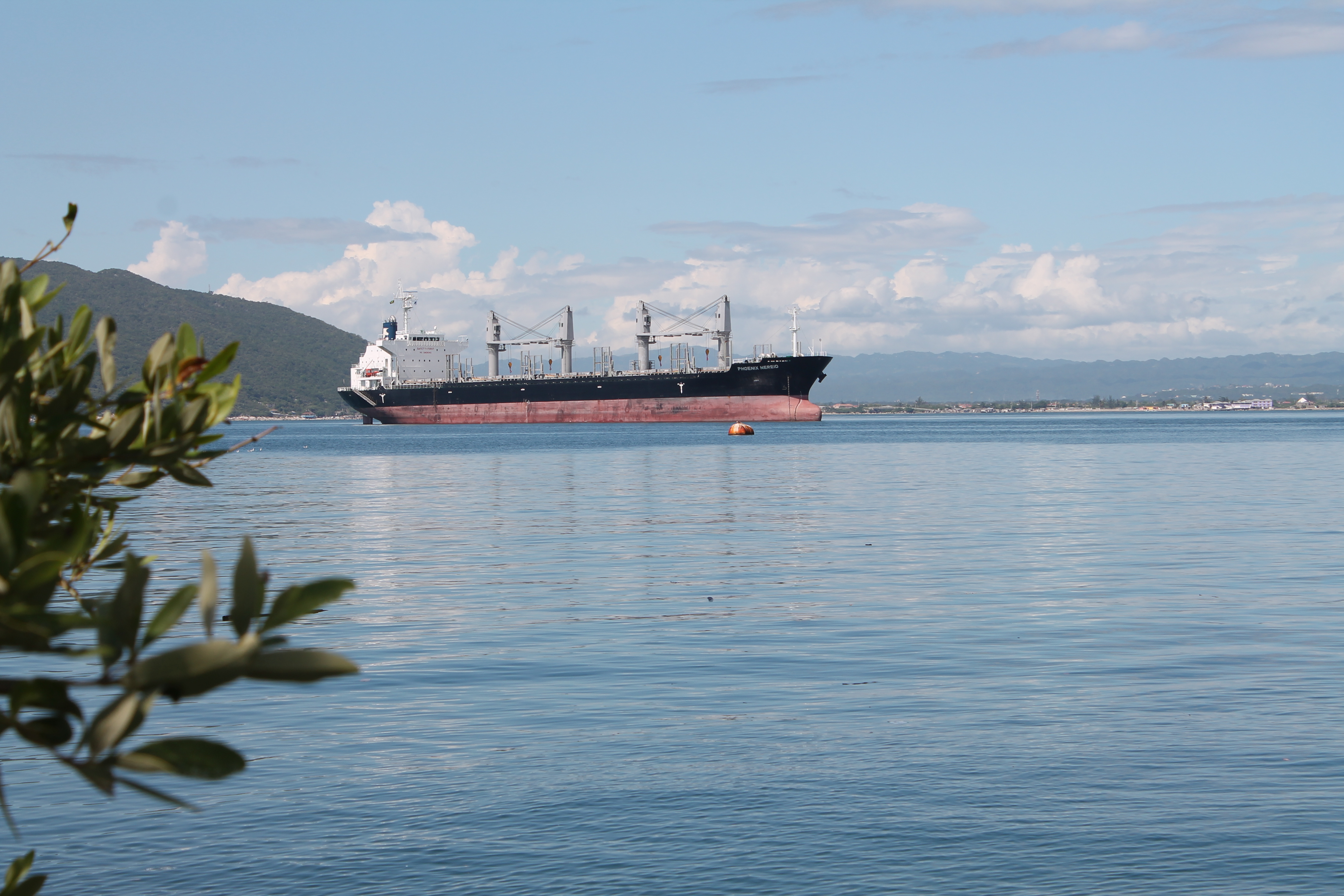
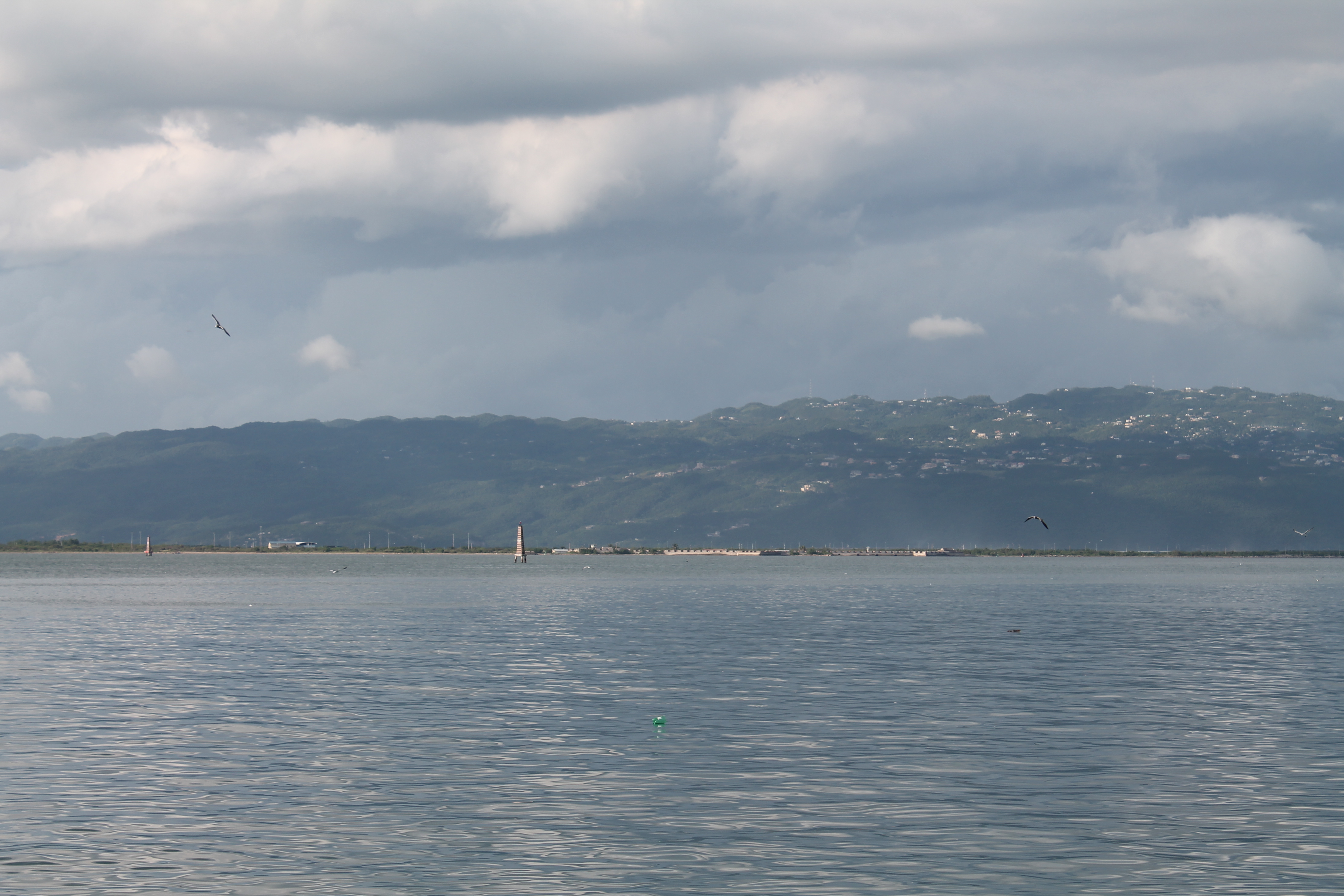
Hello Storm Carib friend! Colvin here your St Vincent and the Grenadines correspondent currently at UWI in Jamaica, the weather here in the south of the island has been rather dry, very little rain has fallen over the last few weeks with many bush fires raging in the distant mountain ridges. The northern portions have been reporting almost seasonal rainfall but the south continues to be very dry.Will post again soon with an update when the rain comes in. I have attached some photos from my visit to port royal,feel free to email me if you wish to have more pictures :) Regards, Colvin " Koolkidd" Harry NBC Radio - Announcer Ham Radio Operator (Callsign J88DZ) CompTIA A+ ce Certified IT Technician www.carihost.com -Affordable reliable stream hosting www.svgweather.info - Vincy
weather observations and forecast Attachment:
IMG_6774.JPG Attachment:
IMG_6777.JPG Attachment:
IMG_6879.JPG Attachment:
IMG_6886.JPG |
| Back to top |